
.avif)
Designing useful, inclusive interchange maps at TPG stops

Our Approach
What matters in real-life conditions
Before evaluating solutions, we clarified what passengers actually look for at the stop - and how context changes everything: a tight transfer, a crowded platform, uncertainty about the right bay. The goal was to separate the essentials from the nice-to-haves: what must be visible first, which cues reassure, and when the information load becomes too complex. This framing became our scorecard for assessing each concept objectively.
Two rider types, two mental models
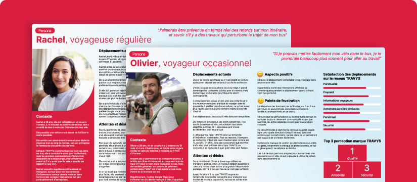
To avoid designing only for frequent riders, Telono ran two focus groups: one with regular passengers, one with occasional travellers. The differences were clear: memorised cues vs immediate orientation, tolerance for information density, and expectations around direction and connections. We translated those behaviours into practical do’s and don’ts to protect clarity.
A connection map shouldn’t try to say everything. Its first job is to remove hesitation - and help people decide in three seconds.
Four full-scale prototypes, put to the test
We tested all four concepts as full-size printed prototypes, close to real conditions: reading distance, lighting, visual hierarchy, density, and graphic cues. Instead of relying on stated preferences, we looked at what people understood instantly, what they missed, and what created doubt at the moment of choosing a platform or direction. Each concept surfaced design lessons that were immediately reusable.
From concepts to a shared rulebook
We pulled together the strengths and limits of each concept and turned them into clear, structured criteria to guide future design decisions. The deliverable wasn’t just “which one wins” - it captured what genuinely helps passengers find their way, and what introduces uncertainty. In the end, TPG left with a practical definition of the “ideal” map: what to show, in what order, how to keep it readable and accessible, which graphic principles to follow, and what trade-offs are acceptable depending on each stop.
Concept comparisons only matter if you leave with reusable rules - a consistent, scalable, inclusive map system for the whole network.
Key Benefits
A decision backed by evidence
A structured comparison of the four maps against shared criteria. What it changed for TPG: faster decision-making and smoother alignment before production.
An “ideal map” spec, ready to roll out
Clear guidance on content, hierarchy, and graphic cues - with adaptation rules for different stops and constraints. What it changed for TPG: a consistent base that can be deployed across the network.
More inclusive wayfinding at stops
Legibility and accessibility built into the evaluation from the start. What it changed: less hesitation during transfers, more autonomy for passengers.